
Islands That Disappeared From Maps and Memory
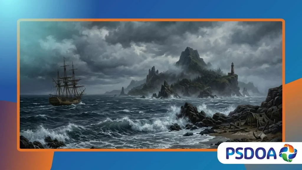
Islands that disappeared from maps represent one of the most fascinating intersections of historical cartography, modern satellite oceanography, and forgotten maritime lore.
Anúncios
These elusive landmasses challenge our perception of geographical certainty, proving that even our most advanced global charts hold deep, unresolved mysteries.
Geographers and historians continually unearth fascinating evidence of phantom islands that cartographers recorded for centuries before modern technology proved their total absence.
This article explores why these geographical anomalies persisted, how modern science unmasked them, and what their sudden erasure tells us today.
Key Highlights of This Exploration
- The strange phenomenon of phantom islands created by early cartographic errors.
- Practical modern examples of vanished landmasses like Sandy Island and Bermeja.
- Scientific explanations detailing how advanced satellite data corrects historical mistakes.
What Are Phantom Islands?
Why Do Cartographers Make Mistakes?
Early mariners faced immense difficulties calculating longitude accurately, which frequently caused them to document non-existent landmasses during long, grueling ocean voyages.
Mirage phenomena, known popularly as Fata Morgana, also tricked experienced captains into seeing solid cliffs where only open water existed.
Centuries ago, mapmakers routinely copied older charts without verification, meaning a single observational error could easily persist across global atlases for generations.
These systematic oversights created a fascinating network of fictional territories that seasoned sailors actively sought out but never successfully located.
How Did Mythological Islands Persist?
Royal courts and wealthy merchant guilds fiercely demanded new trade routes, incentivizing explorers to claim discoveries that heightened their personal prestige.
Consequently, unverified reports of wealthy, isolated islands quickly became deeply embedded in European naval lore and official government records.
National pride often prevented nations from removing these questionable territories from their official maps without definitive, expensive counter-proof.
As a result, these ghostly lands remained beautifully illustrated fixtures of international navigation, misguiding curious travelers for hundreds of years.
++ The Kingdom of Aksum: Africa’s Forgotten Superpower
When Did Technology Change Cartography?
The mid-twentieth century brought advanced sonar systems and aerial reconnaissance, which allowed hydrographers to map the true topography of the ocean floor.
Suddenly, the vast majority of islands that disappeared from maps faced rigorous, uncompromising scientific scrutiny from global maritime authorities.
Satellites completely revolutionized this field by providing real-time, high-resolution imagery of the most remote, inaccessible coordinates on our dynamic planet.
This technological leap effectively eliminated the romantic era of speculative geography, replacing ancient seafaring myths with absolute, verifiable digital accuracy.
Which Famous Islands Vanished Recently?
Where Was Sandy Island Located?
Sandy Island sat proudly in the Coral Sea between Australia and New Caledonia, appearing on reputable global maps since at least 1774.
Captain James Cook initially charted this supposed landmass, cementing its place in naval history for over two distinct centuries of navigation.
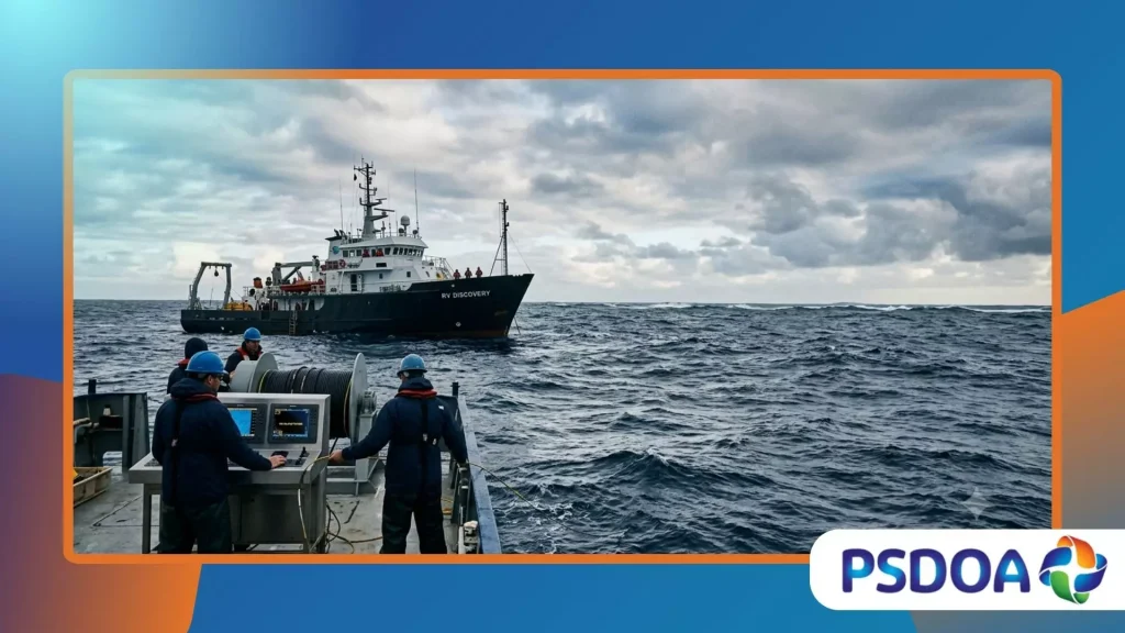
Remarkably, an Australian research vessel sailed directly through the island’s designated coordinates in 2012, discovering only incredibly deep, unobstructed blue water.
This modern correction highlighted how easily a single historical mistake could silently transition into the digital era of Google Earth.
Also read: The Ancient City Hidden Beneath Modern Mexico City
Why Did Bermeja Disappear Completely?
Bermeja was a strategic island located off the northern coast of the Yucatán Peninsula, crucial for determining lucrative maritime oil rights.
Mexican authorities attempted to locate this vital piece of land in 2009 to secure their extensive economic boundaries against foreign claims.
Investigators found absolutely nothing at the coordinates, leading to wild conspiracy theories regarding its sudden, unexplained geological erasure from global charts.
The missing landmass effectively forced cartographers to admit that islands that disappeared from maps drastically impact modern international maritime laws.
Read more: Operation Northwoods: The Declassified False Flag Proposal
How Do Volcanic Islands Vanish?
Some islands genuinely exist for brief periods before violent tectonic activity or rapid marine erosion washes them completely back into the sea.
For example, Home Reef in Tonga repeatedly emerges during volcanic eruptions and subsequently dissolves due to fierce, relentless Pacific waves.
These ephemeral landmasses serve as an excellent reminder that our earth remains a highly volatile, constantly shifting environment.
Observing these fleeting structures helps scientists understand how ancient civilizations might have witnessed real islands sinking into the dark ocean depths.
Why Do Vanished Islands Matter Today?
What Does Science Reveal Now?
Modern bathymetric data reveals that many historical phantom islands actually correspond to massive, submerged seamounts or floating rafts of volcanic pumice.
When underwater volcanoes erupt, they eject vast quantities of lightweight rock that can easily look like stable land from afar.
A massive pumice raft can drift across open oceans for months, deceiving unsuspecting sailors into logging new, completely false geographical discoveries.
This scientific reality bridges the gap between historical maritime myths and measurable, real-world geological occurrences happening beneath our vast oceans.
How Does This Affect International Law?
Exclusive Economic Zones depend entirely on verifiable land territory, making the sudden deletion of an island a chaotic legal nightmare for governments.
If an island vanishes, a nation can instantly lose its sovereign rights to thousands of square kilometers of valuable surrounding ocean.
Therefore, modern hydrographic offices must maintain flawless, real-time records to prevent explosive diplomatic disputes over hidden, undersea natural resources.
Finding islands that disappeared from maps is no longer just a historical hobby; it represents a critical matter of national security.
Why Are Historical Charts Studied?
Studying ancient maps allows modern researchers to reconstruct the psychological mindsets, political motivations, and technological limitations of early maritime explorers.
These historic documents function like an intellectual mirror, reflecting exactly how humanity gradually organized its collective understanding of the physical world.
Uncovering cartographic errors helps historians trace the complex networks of misinformation that shaped global trade routes, colonial ambitions, and naval strategies.
Ultimately, this research reminds us that human knowledge is always an evolving project, never a permanently fixed destination.
Comparative Cartographic Analysis
The following table contrasts verified historical data regarding famous phantom islands that modern researchers eventually removed from official international charts.
| Island Name | Reported Location | First Documented | Year Removed | Primary Cause of Deletion |
| Sandy Island | Coral Sea | 1774 (Cook) | 2012 | Charted a floating pumice raft |
| Bermeja | Gulf of Mexico | 1539 (Arteaga) | 2009 | Navigational error / Cartographic myth |
| Frisland | North Atlantic | 1558 (Zeno Map) | 1600s | Intentional forgery and copying |
| Saxemberg | South Atlantic | 1670 (Lindeman) | 1800s | Optical illusion / Fata Morgana mirage |
Navigating the Echoes of the Past
Chasing these phantom territories feels very much like pursuing a fleeting mirage across a vast, sun-drenched desert landscape.
Our modern world relies heavily on precise GPS tracking, yet history proves that our geographic records were once beautifully fluid and deeply flawed.
Today, researchers use satellite data to confirm that islands that disappeared from maps have finally yielded their secrets to science.
Did you know that the National Center for Earth Observation tracks these anomalies to ensure our global positioning systems remain completely accurate?
Please share your thoughts and favorite historical mysteries with us in the comments section below!
Frequently Asked Questions
Can an island genuinely disappear overnight?
Yes, volcanic islands composed of loose ash can erode completely within days due to intense wave action following an eruption. Alternatively, catastrophic earthquakes or tsunamis can cause unstable coastal landmasses to slide rapidly into the surrounding deep ocean trenches.
What is a Fata Morgana mirage?
A Fata Morgana is a complex optical illusion caused by atmospheric temperature inversions bending light rays over the open ocean.
This phenomenon distorts distant objects, making low-lying waves look like massive, towering cliffs or stable islands to distant sailors.
How does Google Maps handle phantom islands?
Google Maps relies heavily on official hydrographic data, but it occasionally inherits historical errors embedded within older, digitized public databases.
When independent researchers prove an island non-existent, digital mapping companies quickly update their servers to reflect the correct data.
